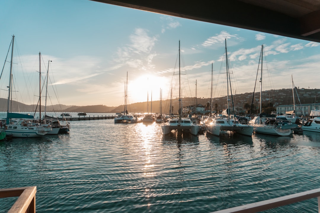
According to Coastal Review’s reporting from August 2026, the U.S. Army Corps of Engineers Wilmington District awarded a $4.3 million contract to Curtin Maritime Corp. — a Long Beach, California-based company — to dredge shoaled sediment from the navigation channels within the Morehead City Inner Harbor. The contract was awarded July 30, 2026. For anyone who owns waterfront property along that harbor, or who is in the early stages of making an offer on one, this project is worth understanding clearly before you draw any conclusions about what it means for your asset.
We’ll be direct about what the source material tells us, and equally direct about where it stops — because a dredging announcement and a property-value shift are two different things, and conflating them has cost buyers money.
What the Contract Actually Covers
Curtin Maritime Corp. will operate under the direction of the Corps’ Wilmington District. The scope is removal of shoaled sediment from the navigation channels within the harbor. That phrase — “navigation channels” — matters. The work is targeted at maintaining channel depth for commercial maritime traffic, not at the docks, boat ramps, or riparian frontage of individual private properties.
Wilmington District Commander Col. Ken Porter described the purpose plainly in a release quoted by Coastal Review: “Maintaining safe navigable waterways is central to our mission at the Wilmington District. This investment ensures that the Morehead City Inner Harbor remains fully operational, supporting regional commerce, maritime industries, and the local economy.”
The scheduling detail is also worth noting: work will proceed on a timeline aligned with “regional environmental windows to minimize impacts on local marine life and coastal habitats,” per the Corps’ release. That language indicates the dredging will not run continuously; it will pause and resume in accordance with seasonal restrictions. If you’re a property owner with dock access along the Inner Harbor, the practical implication is that you should expect intermittent activity, not a single uninterrupted construction period.
What This Does — and Doesn’t — Tell You About Property Access
Shoaling in a commercial navigation channel affects large-draft vessels first. When a channel silts in, container ships and larger commercial maritime traffic are the first to feel the depth restriction. The indirect effect on recreational boaters using private docks along the harbor is real but secondary — a channel maintained to commercial depth generally provides buffer depth for smaller private craft — but Coastal Review’s reporting does not specify which channel segments are being dredged, what the pre-dredge depths are, or which private dock areas are most directly adjacent to the work zones.
Before assuming your slip or your prospective property’s dock will benefit in a concrete, measurable way, confirm the following directly with the Corps or the Town of Morehead City:
- Which specific channel segments are within the contract scope
- The pre-dredge and post-dredge target depths for each segment
- Whether any private dock areas or residential waterfront frontage falls within or immediately adjacent to the dredge corridor
- Whether access restrictions will be placed on the water near active dredging during the environmental windows
The Corps’ Wilmington District is the authoritative source on all four questions. Their project management offices handle public inquiries on active contracts.
The Property-Value Question: What You Can Reasonably Infer vs. What Requires Verification
Maintained navigable water depth is generally viewed favorably by appraisers evaluating waterfront property. A harbor that silts in to the point of restricting boat access is a demonstrable functional deficiency; its correction removes that deficiency. But the leap from “channel dredged” to “my property is now worth more” requires several intermediate steps that a dredging contract announcement doesn’t supply.
A licensed appraiser working the Morehead City waterfront market will factor navigability into their analysis, but they’ll do it in the context of current comparable sales, the property’s specific water depth at the dock (not at the channel center), and the duration over which maintained depth can realistically be expected to continue without future shoaling. Dredging projects are periodic by nature — sediment returns, and future maintenance isn’t guaranteed by the current award.
For buyers currently under contract or preparing an offer on Inner Harbor-adjacent property, a few concrete steps are worth adding to your due-diligence list:
- Request the current survey of water depth at the property’s dock or riparian frontage — not at the nearest channel midpoint
- Ask your real estate attorney to check whether the property has any recorded riparian rights or easements that could affect your access if channel work temporarily alters navigation patterns
- Verify the property’s FEMA flood zone designation on the county GIS portal before finalizing your insurance assumptions — channel dredging doesn’t change flood zone mapping, and FEMA’s Flood Map Service Center is the authoritative starting point for that research
- Pull the Carteret County parcel record to confirm the lot’s exact boundary at the water’s edge — the distinction between where your deed ends and where the Corps’ jurisdiction begins is not always obvious on a site visit
- Ask the listing agent, in writing, whether any access restrictions were experienced during prior dredging cycles in the Inner Harbor
The Broader Context: Commercial Port Health and Residential Adjacency
Morehead City’s Inner Harbor is an active commercial port environment. That context matters when evaluating waterfront residential property in this area — it’s a different calculus than, say, purchasing a waterfront lot in a quiet tidal creek neighborhood. The port’s commercial activity is both a driver of local economic health (and by extension, property demand) and a source of ongoing maritime industrial operations that affect the character of adjacent waterfront living.
The Corps’ framing of this project as supporting “regional commerce, maritime industries, and the local economy” signals that the harbor’s primary function is commercial. Property buyers drawn to this area because of the working-waterfront character will likely view maintained channel depth as a positive. Buyers who are primarily seeking quiet residential waterfront may want to spend time at the property during active port hours before committing.
Projects affecting shoreline stabilization elsewhere on the Crystal Coast — like the Snows Cut shoreline stabilization effort — demonstrate how waterway maintenance work can ripple into property access and planning considerations in ways that aren’t always telegraphed in the initial contract announcement. The pattern is consistent: read the specific scope carefully, then verify the parcel-level implications separately.
Your Next Step
Contact the U.S. Army Corps of Engineers Wilmington District directly and ask for the project file on the Morehead City Inner Harbor dredging contract awarded July 30, 2026. Ask specifically for the channel segment maps, the target depths, and the anticipated work schedule windows. That file is the factual foundation for every subsequent question about access, duration, and proximity to any property you’re evaluating — and it’s a public record you’re entitled to request.